*green service available **Yellow means it is in the process of being improved or is available but not yet up to standard. ***Gray (red) means there are no supporting facilities yet.
Phu Pha Thoep National Park
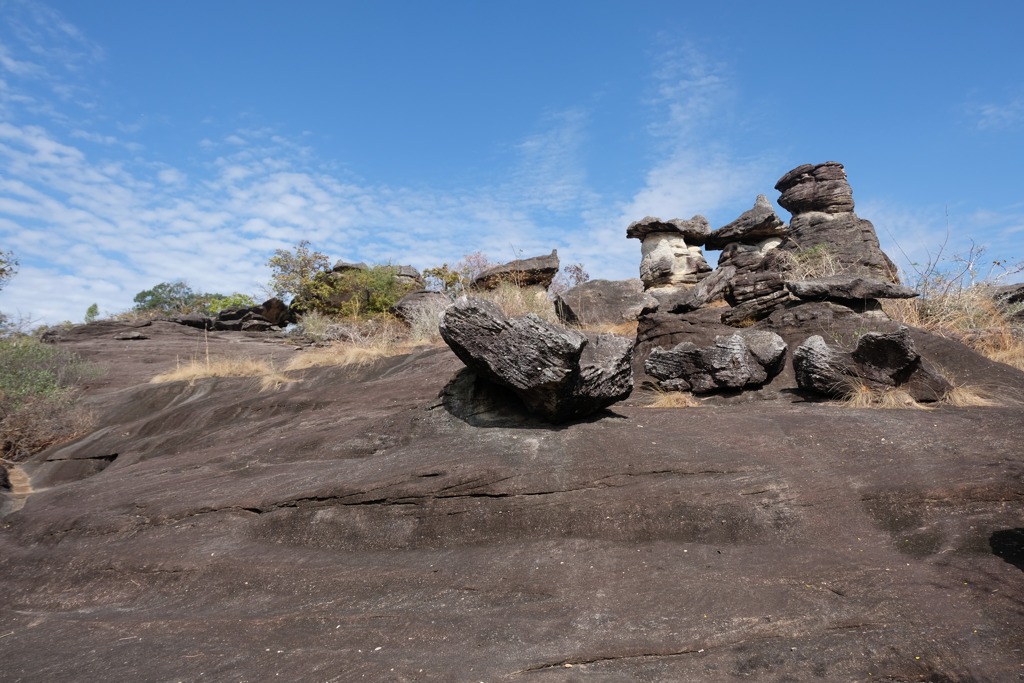
It is the 59th national park of Thailand, covering an area of 48.4 square kilometers or 30,245.67 rai, covering Mueang Mukdahan District and Don Tan District. The terrain is sandstone mountains consisting of many large and small mountain ranges connected in a undulating pattern and is the end of the Phu Phan mountain range. These mountain ranges are oriented north-south parallel and are about 4 kilometers from the Mekong River. Within Phu Pha Thoep Park are Phu Mak Yang, Phu Mano, Phu Prong, Phu Rang, Phu Chom Nang, Phu Mak Mi, Phu Pha Thoep, Phu Nang Hong, Phu Tham Phra, Phu Lak Se, and the highest peak is Phu Chom Si, which is about 170-420 meters above sea level. Most of the forest is dry dipterocarp forest and mixed deciduous forest. It is also the source of many streams, such as Huai Ta Luek, Huai Sing, Huai Ruea, Huai Malee, and Huai Chang Chon. The foot of the mountain is lined with bamboo forests. In many areas, there are high cliffs and wide stone terraces with many strangely shaped rocks. Source: website thailandtourismdirectory.com
We believe in clarity and disclosure about how we collect and use information that relates to you when you visit our website. We save the information in the form of cookies, To improve a better user experience. Please, read the Privacy policy and Term of service. If you wish Change any request to exercise your rights. Owner of personal information Please inform your request via email contact@dasta.or.th.